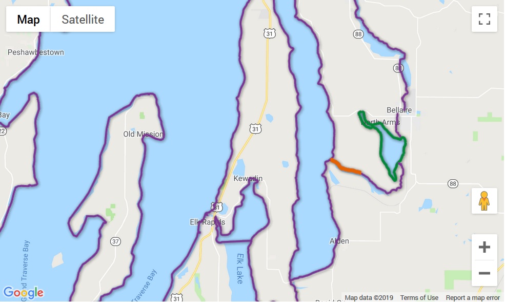
In 2019, Google will discontinue its Fusion Tables cloud data management service. Fusion Tables has been available since 2009. LIAA has used Fusion Tables to display extensive interactive map overlays on several websites, especially Michigan Water Trails. Luckily, Google Maps supports a replacement technology: GeoJSON. JSON stands for JavaScript Object Notation, and is a text-based means of storing data. GeoJSON is a standardized way of using JSON to store geographic data, and this data format can be exported from the Geographic Information System (GIS) software LIAA uses for many mapping projects. Once exported, the Google Maps API makes adding GeoJSON layers to a map quite easy. The trick for us is to update all the tools we had developed for querying and displaying map data stored in Fusion Tables to instead use data stored as GeoJSON. In the end, GeoJSON overlays will allow us to be more flexible and develop even more interactive maps. And, though we hope to make this changeover completely transparent to end users, watch for new map overlays on Michigan Water Trails soon!
by Jim Muratzki
Monday, August 19, 2019
